Landslide Monitoring: Accurate Early Warning to Safeguard Life and Property
Release time: 2025-08-18
Landslides, as a sudden and destructive geological disaster, constantly threaten people’s lives, property, and critical infrastructure. Accurate and reliable landslide monitoring and early warning technology is a crucial defense line for disaster prevention and mitigation. Choosing reliable and innovative core technologies and sensors for landslide monitoring is a wise choice to prevent landslide risks and protect people’s safety and property.
Core Technologies for Landslide Monitoring
Surface Displacement Monitoring:
- Traditional Geodetic Methods: Uses total stations, leveling instruments, etc., providing high precision but low efficiency, making real-time monitoring difficult.
- GNSS Monitoring: By receiving satellite signals, it provides real-time three-dimensional coordinate changes of monitoring points. It is suitable for large-scale and long-distance monitoring but can be affected by complex terrain interference.
- InSAR (Interferometric Synthetic Aperture Radar): Utilizes satellite or airborne radar images to obtain millimeter-level surface deformation information over large areas, suitable for regional surveys, but with relatively lower real-time capabilities.
Deep Displacement Monitoring:
- Inclinometers: Installed in boreholes, they measure the changes in the tilt angles of different depths of the rock and soil, which is crucial for determining the sliding surface position and deep displacement trends.
- Fixed Inclinometer: Provides good real-time monitoring with continuous data.
- Portable Inclinometer: Regular manual measurements at lower costs.
Optical Fiber Sensing Technology:
By embedding sensors underground, optical fibers detect changes in strain, temperature, etc., offering distributed measurement, electromagnetic interference resistance, and corrosion resistance.
Environmental Inducing Factors Monitoring:
- Rainfall Monitoring: Heavy rainfall is a primary factor triggering landslides. Real-time rainfall monitoring is essential for early warnings.
- Groundwater Level/Pore Water Pressure Monitoring: Using piezometers and water level gauges, it monitors the impact of groundwater dynamics on slope stability.
Key Sensors in Landslide Monitoring
Sensors are the “sensory nerves” of the monitoring system, and their selection directly affects data quality:
- GNSS Receivers: The core sensor for surface displacement monitoring, providing absolute position changes.
- Inclinometer Probes: The core sensor for deep displacement monitoring, providing tilt angle change data.
- Piezometers/Water Level Gauges: Monitors changes in groundwater and pore water pressure.
- Rain Gauges: Real-time recording of rainfall.
- Crack Meters: Monitors the opening and closing of surface cracks.


Innovation Breakthrough: Multi-dimensional Micro-magnetic High-precision Displacement Monitoring Technology
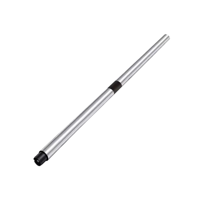
In the pursuit of higher precision, stronger adaptability, and lower maintenance costs, Shenyang Sheng Hunting Software Technology Co., Ltd. has innovatively applied multi-dimensional micro-magnetic technology to the geological disaster monitoring field. Its core product-high-precision displacement sensors-provides a new solution for landslide monitoring.
Technical Principle:
The sensor uses advanced magnetic encoding and induction technology to measure minute relative displacement changes between monitoring points (millimeter or even sub-millimeter scale) through a non-contact measurement method. Its “multi-dimensional” feature allows simultaneous measurement of displacement along multiple axes (such as X, Y, Z), providing a more comprehensive reflection of the deformation characteristics of geological bodies.
Core Advantages:
- High Precision: Achieves micrometer to millimeter level displacement resolution, meeting the stringent requirements for monitoring small early deformations in landslides.
- Strong Anti-interference: The sensor is highly resistant to harsh field environments, such as humidity, dust, and electromagnetic interference, ensuring long-term stable and reliable data.
- Flexible Installation: Compact in size, easy to install on surface cracks, structural surfaces, or combined with anchor rods for deep monitoring.
- Real-time Continuous Monitoring: Supports 24/7 uninterrupted monitoring, with data transmitted in real-time to the early warning platform.
- Low Power Consumption and Long Life: Suitable for outdoor scenarios without grid power or powered by solar energy, reducing maintenance frequency.
Application Scenarios and Value
Shenyang Sheng Hunting’s displacement sensors and the monitoring systems it builds have been successfully applied in the stability monitoring of embankments, slopes, bridges, tunnels, and wind turbine foundations. In the field of landslide monitoring, it is especially suitable for:
- Fine displacement monitoring of key areas (e.g., cracks and potential landslide bodies).
- Supplementary monitoring in areas difficult to cover by traditional methods or in harsh environments.
- Building low-cost, high-density monitoring networks to improve early warning accuracy.
3D landslide displacement monitoring is a systematic project that requires the integration of various technologies and sensors. From traditional geodetic methods, GNSS, and inclinometers to innovative optical fiber sensing and multi-dimensional micro-magnetic displacement monitoring, technology continues to advance. Shenyang Sheng Hunting Software Technology Co., Ltd. has made significant contributions to geological disaster monitoring by providing more accurate, reliable, and adaptable solutions for harsh environments, thus strengthening the safety barrier for disaster prevention and mitigation with technological power.